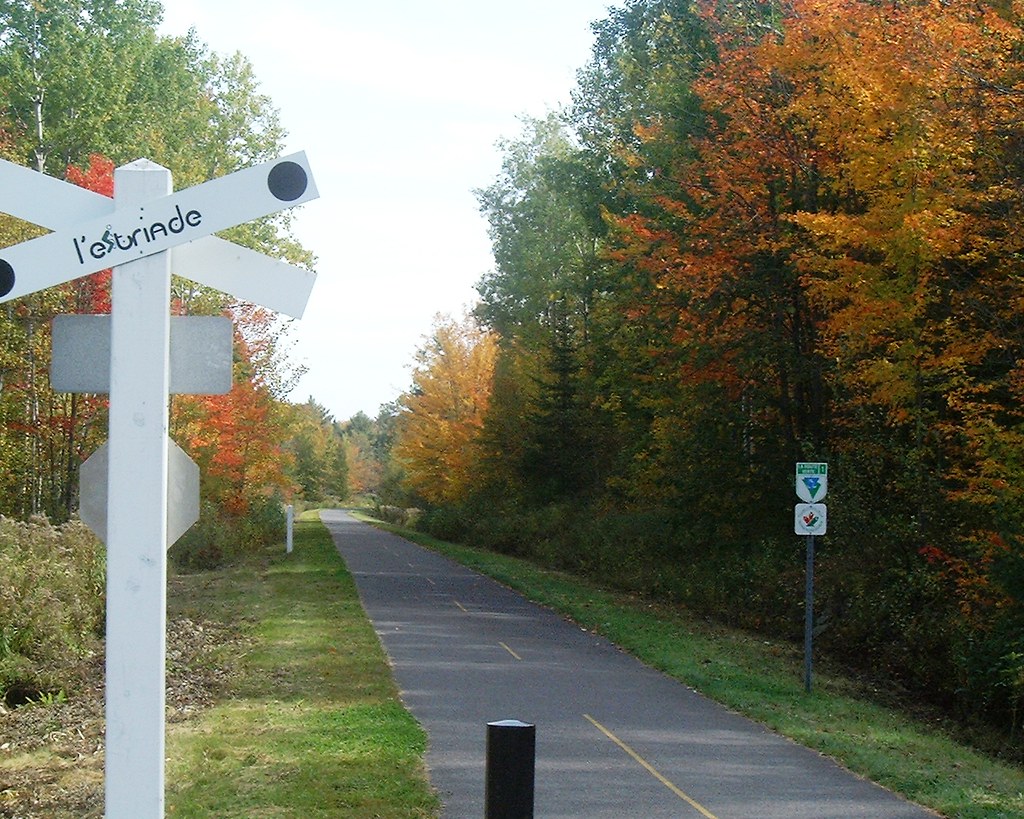
L’Estriade
Description
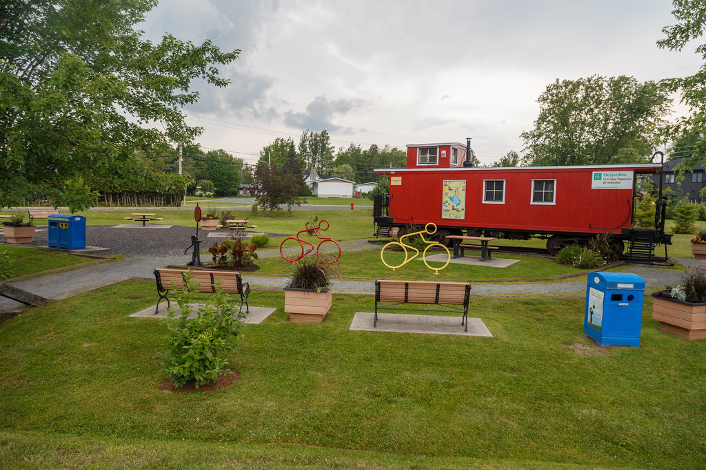
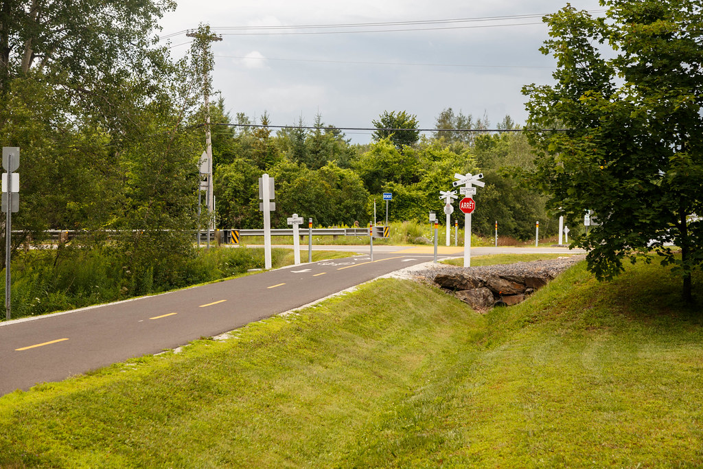
Built on the route of the railroad line that used to run through it, the trail crosses four municipalities: Granby, Canton de Shefford, Bromont and Waterloo. It is paved with asphalt for just over 25 km. The town of Bromont has added a section, the Villageoise, linking it to its downtown area. The Estriade network also crosses the Lac Boivin nature interpretation center in Granby, and the Yamaska national park in Roxton Pond.
From Granby, you can continue westwards into the Montérégie region. The Route des Champs bike path leads to Chambly. The Montérégiade bike path leads to Farhnam and Saint-Jean-sur-Richelieu.
From Waterloo, it’s possible to extend the route in two directions. To the north, along the La Campagnarde bike path to Drummondville. Eastward on the Montagnarde bike path through Eastman and Parc national du Mont-Orford to Magog. Continuing east on route verte #1, you can reach Sherbrooke.
Infos
Website: https://www.estriade.net/
Telephone: 450 539-4000
E-mail: infos@carthy.ca
Map (pdf): Estriade network
Weather Forecast
Photos

User Reviews
Write a reviewBe the first to write a review.