Île d’Orléans
Description
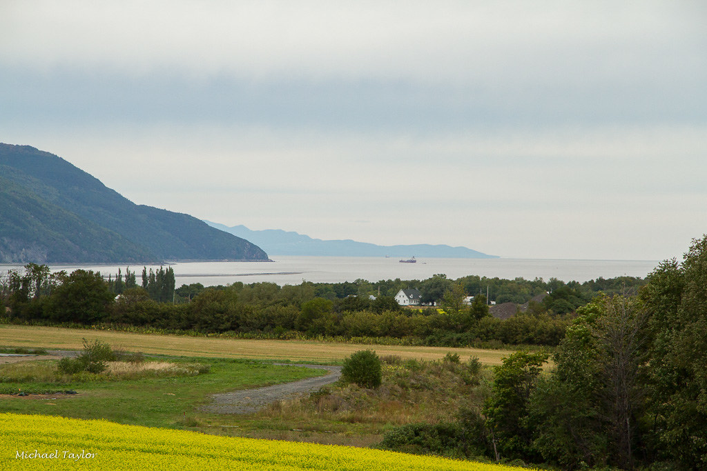
Île d’Orléans is 33.3 km long and 8 km wide, immediately downstream of Quebec City in the St. Lawrence estuary. It is the largest island on the river, after the island of Montreal. It forms a relatively regular plateau in Appalachian rock, culminating at an altitude of 137 m and bordered by steep slopes. Surrounded by wide flats to the north and a narrow terrace to the south, the central part of L’île d’Orléans is wooded with Canadian hardwood and softwood forests.
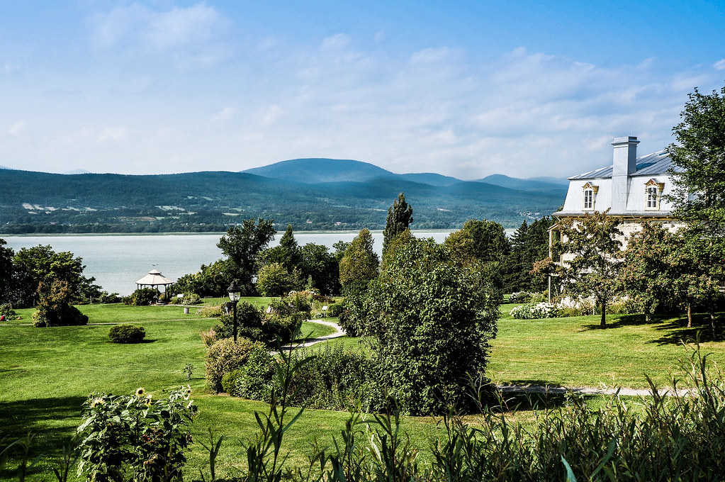
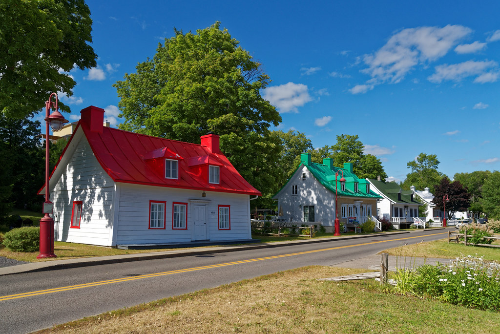
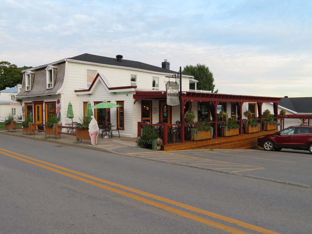
The bike route follows the Chemin Royal (route 368), which circles the island for a total of 67 km. The panorama is absolutely magnificent, making this ride a must in the Quebec City region. Indeed, it’s the scenery, the old houses, the colors and the smells that make Île d’Orléans so charming.
You can start your journey from Saint-Laurent church, on the south side, heading east counterclockwise. Those wishing to shorten the journey can take the Route du Mitan, which crosses the island perpendicularly, between Sainte-Famille and Saint-Jean. If you prefer to cycle to the island, you can take the Littoral bike path, which leads directly to the bridge.
Weather Forecast
Photos


User Reviews
Write a reviewBe the first to write a review.