Chemin du Roy
Description
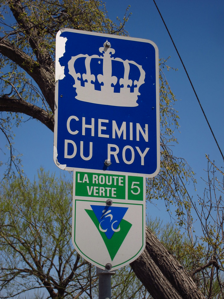
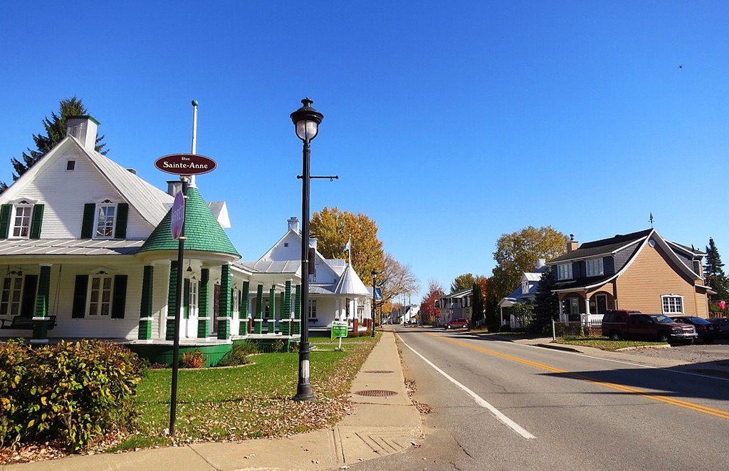
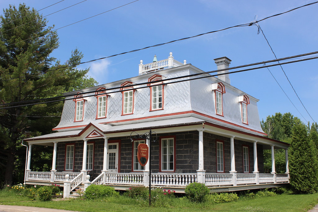
The Chemin du Roy is a 280 km tourist route between Repentigny and Quebec City, crossing the tourist regions of Quebec City, Mauricie and Lanaudière. For cyclists, it corresponds to the Route verte #5 cycling itinerary. Its route, criss-crossing towns and countryside, follows the majestic St. Lawrence River, offering breathtaking panoramic views. The Chemin du Roy brings together heritage, historical and natural sites, as well as agritourism. Discover picturesque villages, churches and chapels, museums, historic homes, arts and crafts, gardens and local produce.
History of Chemin du Roy
At the beginning of the 18th century, the road network covered only a tiny part of the vast territory of New France. Rows and stretches of road were scattered here and there, but there was still no road linking Quebec City to Montreal. In 1706, the Conseil Supérieur decided to build a road along the river where the settlements were located. Thanks to his “corvées du Roy”, the grand voyer Jean-Eustache Lanouiller de Boisclerc was able to start work in 1731. When completed in 1737, the Chemin du Roy was 7.4 meters wide and stretched 280 kilometers across 37 seigneuries.
Today, the Chemin du Roy, which showcases the rich heritage and history of New France, takes up most of the route of this first carriage road, which corresponds mainly to today’s Route 138. It can be travelled by car, motorcycle or bicycle.
NOTE: The GPS route corresponds to the official route presented on the website: www.lecheminduroy.com. Some sections deviate slightly from the Route Verte (for cycling), but they all join up.
IMPORTANT! If you are using the GPS route by car, DO NOT follow the route in Quebec City and Trois-Rivières, as you may encounter one-way streets.
Information
Map: Chemin du Roy brochure (pdf)
E-mail: cheminduroy@quebecauthentique.com
Website: https://www.lecheminduroy.com/
Weather Forecast
Photos


User Reviews
Write a reviewBe the first to write a review.