Cycloroute de Bellechasse
Description
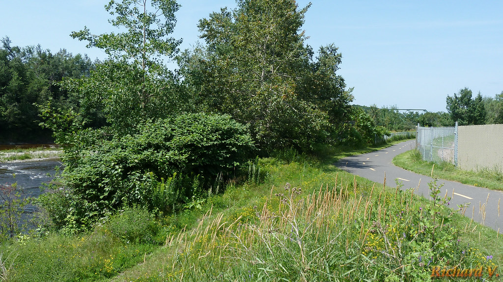
The Cycloroute de Bellechasse is a 74 km, fully paved, exclusive right-of-way bicycle path that starts in Saint-Henri (15 km from Lévis) and runs all the way to Armagh, on Quebec City’s South Shore. Built on two former railroad tracks, it has a gentle gradient and is perfect for the whole family.
The route covers eight municipalities in the Bellechasse MRC: Saint-Henri, Saint-Anselme, Sainte-Claire, Saint-Malachie, Saint-Lazare, Saint-Damien, Saint-Nérée and Armagh. You’ll pass through a variety of agricultural and forest landscapes in an enchanting setting. Interpretation panels on agri-food and railway heritage along the Cycloroute will help you get to know this agricultural region with its impressive past. Don’t miss: Parc des Chutes d’Armagh.
Those wishing to make the round trip in more than one day will find accommodation in the municipalities of St-Henri and St-Malachie. What’s more, the bike path extends all the way to Lévis, providing access to the Lévis/Québec ferry. However, you’ll need to bypass Highway 20 via Chemin Harlaka, Chemin St-Rock and Route Lallemand. Then take the cycle path along the Anses route to the ferry.
Parking lots
- Saint-Henry
Intersection Route 277 and rue de la Gare - Chalet des loisirs – Saint-Anselme
160, ch. Saint-Marc, Saint-Anselme G0R 2N0 - Sainte-Claire
Rue de la Station - Parc des Cheminots – Saint-Malachie
Corner of Avenue Principale and 2e rue
- Saint-Damien
Route 279 (by the runway) - Saint-Nérée
Route Principale (at the edge of the runway) - Parc des Chutes – Armagh
305, route 281 Sud, Armagh G0R 1A0
Information
Maps: Carte cycloroute de Bellechasse (PDF) / Ondago
Telephone: 418-883-3347
Weather Forecast
Photos


User Reviews
Write a reviewBe the first to write a review.