Ville de Laval
Description
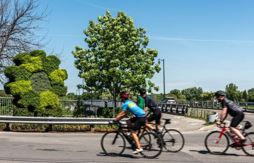
Laval has almost 300 km of bike paths, multi-purpose trails and bike lanes. It plans to develop 450 km by 2031. These include Route Verte #1, which stretches over 30 km and can be divided into two segments.
Beginning in the south, coming from Montreal via the Île Perry footbridge, the first segment crosses Laval as far north as the Sainte-Rose district. Here, it joins Route Verte #2, which continues north towards Blainville and Saint-Jérôme.
The second segment, from the Sainte-Rose district, runs to the western end of the island of Laval. There are several parks along the way, including Berge des Baigneurs, Parc de la rivière des Mille-Îles, Bois de la Source and Berge aux Quatre-Vents.
In Laval-Ouest, you can take the Arthur-Sauvé bridge to Saint-Eustache, or cross the Barrage du Grand Moulin to go directly to Deux-Montagnes. Once you’ve crossed the Rivière des Mille-Îles, you can extend your route by following the La Vagabonde cycling circuit, part of Route Verte #1. It leads to Oka National Park, and then on to Saint-Placide for the more athletic.
Information
Telephone: 450-978-8000
Website: www.laval.ca
Map (pdf): Cycling routes in Greater Montreal
Weather Forecast
Photos

User Reviews
Write a reviewBe the first to write a review.